


Images courtesy of Sanborn Maps and the Public Library of Cincinnati and Hamilton County
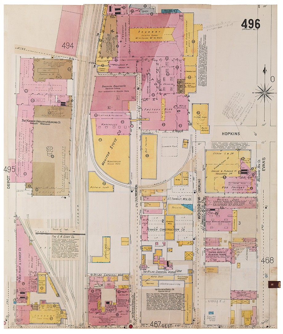
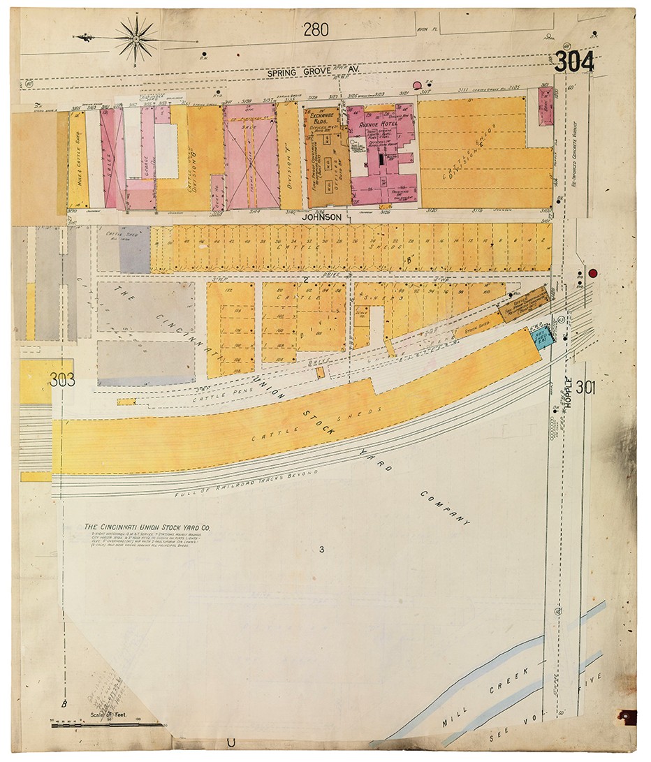
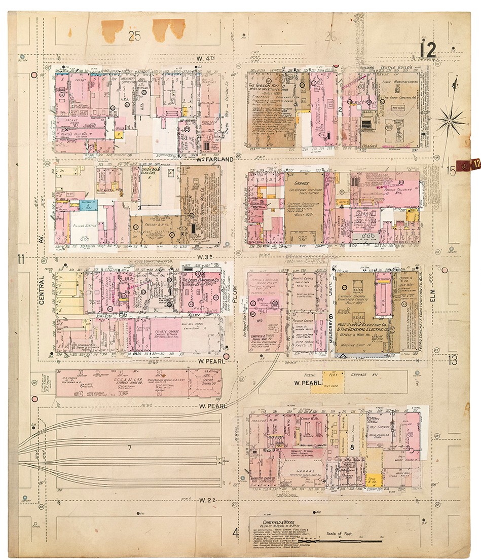
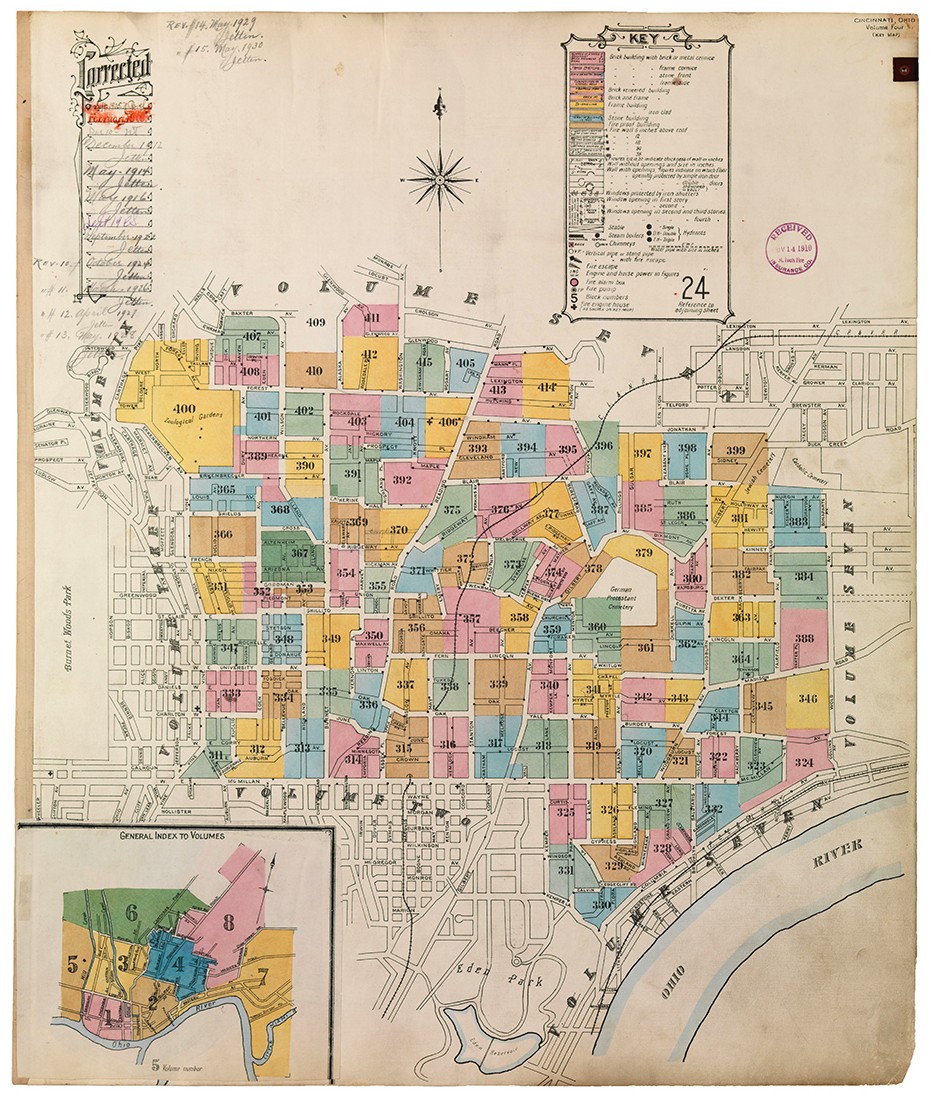
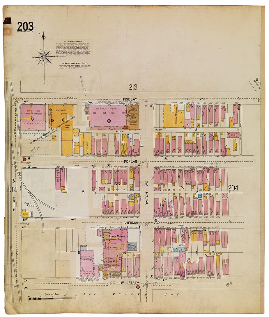
Most maps illustrate a fixed moment of geographical existence. Sanborn maps, however, do something altogether different. In 1867, The Sanborn Map Company began charting North American cities and towns—including Cincinnati, starting in 1887—for the exceedingly boring purpose of cataloguing fire insurance risk.

But instead of creating a new map each time someone renovated a building, the company simply annotated the originals.

During the Depression, Sanborn paused full-scale production, mailing inserts to its insurance company clients to paste on maps that needed updating. This obscured some of the historical record, but the result is a striking, multicolored collage of neighborhoods showing how and when buildings were constructed and maintained.
Each map was created with an intricate key of letters, figures, and colors indicating building materials, building type, and other pertinent information (like number of hydrants). Taken together, Sanborn maps allow us to track the growth and evolution of the city in a way that traditional maps and even photos can’t, such as when our streets were renumbered in the 1890s and the east-west dividing line shifted from Main Street to Vine Street.
“They’re some of the best maps of the urban United States ever produced,” says Doug Magee, a librarian in the Public Library of Cincinnati and Hamilton County, which holds hard (and digitized) copies of the 1904, 1922, and 1934 volumes. He notes that researchers with a range of interests often seek them out, including genealogists using them for land studies and treasure-hunters looking for old artifact-rich trash heaps and latrines.
The irony is that the maps were created simply with risk management in mind; that they also provide a priceless record of Cincinnati history was just a happy accident.
Check out more Cincinnati neighborhoods:


Facebook Comments